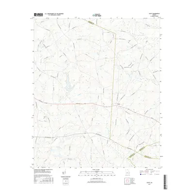
2017 Map of Scott
USGS Topo · Published 2017About this map
The small settlement of Scott sits at the nexus of several county boundaries, where Johnson, Laurens, Treutlen, and Emanuel counties meet in central Georgia. This modern 2017 survey reveals a landscape deeply carved by a network of waterways, including the winding Pendleton Cr and Randall Cr, which flow through a topography of low ridges and agricultural drainage. Small impoundments such as Kiser Lake, Keen Lake, and Smalley Lake dot the countryside, reflecting the region's managed water resources.
Find a feature on this map
91 named features on this map. Tap any name to fly to it.
Don’t see what you’re looking for? This feature index may not catch every label — zoom into the map to look around manually.
Map Details
Editions of this 2017 Scott Map
This is the sole edition of this map. No revisions or reprints were ever made.
Other maps of this area

1957 · Macon
USGS Topo · 1:250,000

1958 · Macon
USGS Topo · 1:250,000

1964 · Macon
USGS Topo · 1:250,000

1971 · Soperton North
USGS Topo · 1:24,000

1971 · Rockledge
USGS Topo · 1:24,000

1974 · Kite
USGS Topo · 1:24,000

1974 · Wrightsville
USGS Topo · 1:24,000

1974 · East Dublin
USGS Topo · 1:24,000

1974 · Lovett
USGS Topo · 1:24,000

1974 · Scott
USGS Topo · 1:24,000