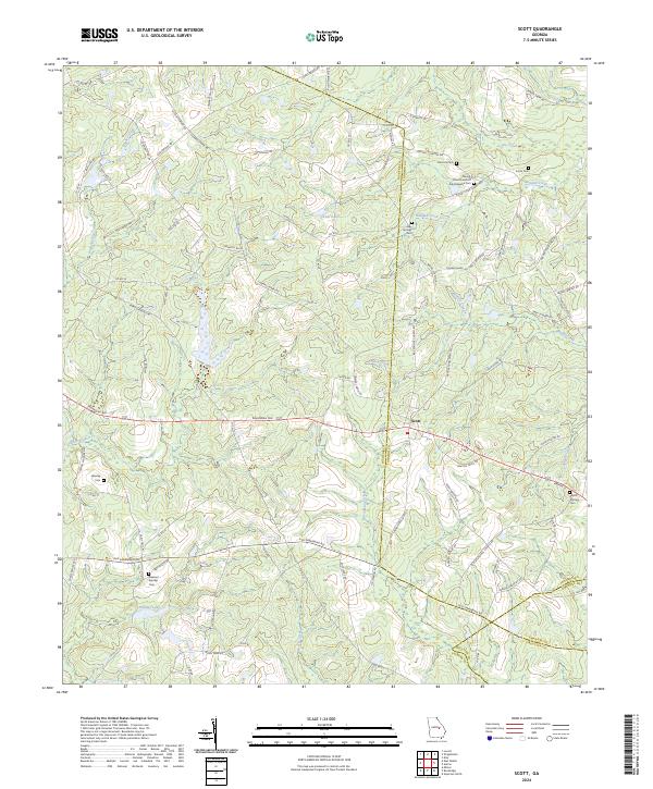
2024 Map of Scott
USGS Topo · Published 2024About this map
Scott serves as the central hub in a landscape defined by the convergence of several Georgia counties, including Laurens, Johnson, Treutlen, and Emanuel. The settlement pattern is largely dictated by the area's many waterways, such as Pendleton Creek and Mercer Creek, which drain the low-lying terrain into reservoirs like Smalley Lake and Kiser Lake. This modern survey reveals a countryside still deeply connected to its rural heritage, where family and community lineages are anchored by numerous small burial grounds and places of worship.
Find a feature on this map
92 named features on this map. Tap any name to fly to it.
Don’t see what you’re looking for? This feature index may not catch every label — zoom into the map to look around manually.
Map Details
Editions of this 2024 Scott Map
This is the sole edition of this map. No revisions or reprints were ever made.
Other maps of this area

1957 · Macon
USGS Topo · 1:250,000

1958 · Macon
USGS Topo · 1:250,000

1964 · Macon
USGS Topo · 1:250,000

1971 · Soperton North
USGS Topo · 1:24,000

1971 · Rockledge
USGS Topo · 1:24,000

1974 · Kite
USGS Topo · 1:24,000

1974 · Wrightsville
USGS Topo · 1:24,000

1974 · East Dublin
USGS Topo · 1:24,000

1974 · Lovett
USGS Topo · 1:24,000

1974 · Scott
USGS Topo · 1:24,000