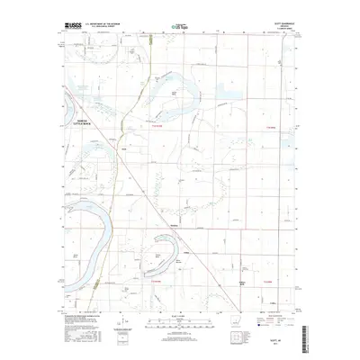
2017 Map of Scott
USGS Topo · Published 2017About this map
The alluvial landscape of the Arkansas River basin southeast of North Little Rock is defined by a complex network of oxbow lakes and ancient watercourses. The prominent Toltec Mounds site stands as a significant archaeological landmark near the community of Toltec, where the land bends sharply around Mound Lake. This area, split by the Pulaski and Lonoke county line, transitions from the industrial fringes of the city to a rich agricultural corridor. The map reveals a high density of aquaculture, most notably the Eanes Minnow Farm Lake Number One and Eanes Minnow Farm Lake Number Two. Smaller settlements such as Scott and Hamiter are connected by rural roads like Walkers Corner Rd, while numerous family and community burial grounds, including All Souls Rest Cem and Pea Ridge Cem, are scattered across the lowlands.
Find a feature on this map
95 named features on this map. Tap any name to fly to it.
Don’t see what you’re looking for? This feature index may not catch every label — zoom into the map to look around manually.
Map Details
Editions of this 2017 Scott Map
This is the sole edition of this map. No revisions or reprints were ever made.
Other maps of this area

1891 · Little Rock
USGS Topo · 1:125,000

1893 · Little Rock
USGS Topo · 1:125,000

1935 · Mc Almont
USGS Topo · 1:24,000

1935 · Sweet Home
USGS Topo · 1:24,000

1937 · England
USGS Topo · 1:48,000

1939 · Keo
USGS Topo · 1:31,680

1940 · Lonoke
USGS Topo · 1:62,500

1940 · Woodson
USGS Topo · 1:31,680

1941 · Keo
USGS Topo · 1:31,680

1942 · Scott
USGS Topo · 1:31,680