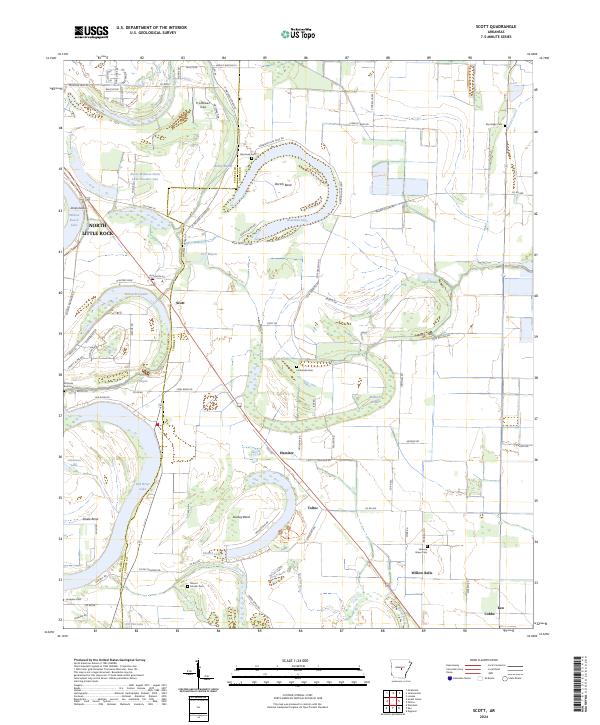
2024 Map of Scott
USGS Topo · Published 2024About this map
The oxbow lakes and meandering bayous of the Arkansas River floodplain define the landscape between North Little Rock and Scott. Large-scale agricultural patterns and remnant water bodies like Bearskin Lake and Horseshoe Lake illustrate the complex hydrography of the region. The map highlights significant cultural sites such as Toltec, known for its proximity to ancient earthworks, and the settlement of Keo near the southern boundary.
Find a feature on this map
94 named features on this map. Tap any name to fly to it.
Don’t see what you’re looking for? This feature index may not catch every label — zoom into the map to look around manually.
Map Details
Editions of this 2024 Scott Map
This is the sole edition of this map. No revisions or reprints were ever made.
Other maps of this area

1891 · Little Rock
USGS Topo · 1:125,000

1893 · Little Rock
USGS Topo · 1:125,000

1935 · Mc Almont
USGS Topo · 1:24,000

1935 · Sweet Home
USGS Topo · 1:24,000

1937 · England
USGS Topo · 1:48,000

1939 · Keo
USGS Topo · 1:31,680

1940 · Lonoke
USGS Topo · 1:62,500

1940 · Woodson
USGS Topo · 1:31,680

1941 · Keo
USGS Topo · 1:31,680

1942 · Scott
USGS Topo · 1:31,680