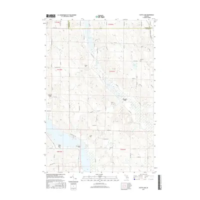
2017 Map of Scotts Lake
USGS Topo · Published 2017About this map
The Intermediate River system defines the geography of this Northern Michigan landscape, connecting a chain of lakes that includes Sixmile Lake, Scotts Lake, Beals Lake, and the northern reaches of Intermediate Lake. The village of Central Lake sits on the western edge of the sheet, serving as a focal point for the surrounding rural area of Pleasant Valley. The terrain is characterized by named elevations such as Echo Hills, Bunker Hill, and Dingle Hill, which rise between the numerous creek drainages like Benway Cr and Shanty Cr.
Find a feature on this map
86 named features on this map. Tap any name to fly to it.
Don’t see what you’re looking for? This feature index may not catch every label — zoom into the map to look around manually.
Map Details
Editions of this 2017 Scotts Lake Map
This is the sole edition of this map. No revisions or reprints were ever made.
Other maps of this area

1954 · Central Lake
USGS Topo · 1:62,500

1954 · Traverse City
USGS Topo · 1:250,000

1955 · Cheboygan
USGS Topo · 1:250,000

1956 · Mancelona
USGS Topo · 1:62,500

1957 · Elk Rapids
USGS Topo · 1:62,500

1958 · Cheboygan
USGS Topo · 1:250,000

1958 · Traverse City
USGS Topo · 1:250,000

1961 · Boyne City
USGS Topo · 1:62,500

1975 · Mancelona NE
USGS Topo · 1:24,000

1975 · Mancelona NW
USGS Topo · 1:24,000