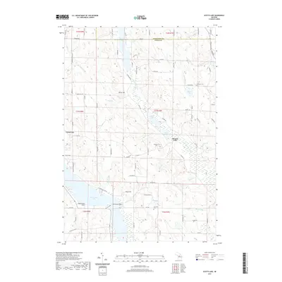
2019 Map of Scotts Lake
USGS Topo · Published 2019About this map
The village of Central Lake serves as the focal point for this survey of the northern Lower Peninsula, situated between the expansive waters of Intermediate Lake and the surrounding glacial hills. The landscape is defined by its recreation-driven geography, notably marked by the Recreation Point peninsula which extends into the lake. This 2019 survey documents a region where low-density residential development and summer retreats have integrated into a terrain of wetlands and small inland lakes. The township structure remains evident through the section lines that organize the agricultural and wooded parcels surrounding the central settlement, reflecting a modern balance between seasonal tourism and established rural community life in Antrim County.
Find a feature on this map
2 named features on this map. Tap any name to fly to it.
Don’t see what you’re looking for? This feature index may not catch every label — zoom into the map to look around manually.
Map Details
Editions of this 2019 Scotts Lake Map
This is the sole edition of this map. No revisions or reprints were ever made.
Other maps of this area

1954 · Central Lake
USGS Topo · 1:62,500

1954 · Traverse City
USGS Topo · 1:250,000

1955 · Cheboygan
USGS Topo · 1:250,000

1956 · Mancelona
USGS Topo · 1:62,500

1957 · Elk Rapids
USGS Topo · 1:62,500

1958 · Cheboygan
USGS Topo · 1:250,000

1958 · Traverse City
USGS Topo · 1:250,000

1961 · Boyne City
USGS Topo · 1:62,500

1975 · Mancelona NE
USGS Topo · 1:24,000

1975 · Mancelona NW
USGS Topo · 1:24,000