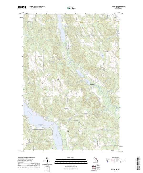
2023 Map of Scotts Lake
USGS Topo · Published 2023About this map
Intermediate Lake and the Intermediate River form the hydraulic backbone of this Antrim County landscape, which is part of the notable Chain-Of-Lakes-Water-Trl. The map illustrates a region defined by its glacial hydrology, where smaller basins like Sixmile Lake, Beals Lake, and Scotts Lake are connected by a network of creeks, including Smith Creek and Beal Creek.
Find a feature on this map
85 named features on this map. Tap any name to fly to it.
Don’t see what you’re looking for? This feature index may not catch every label — zoom into the map to look around manually.
Map Details
Editions of this 2023 Scotts Lake Map
This is the sole edition of this map. No revisions or reprints were ever made.
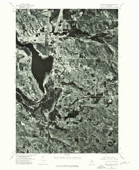
Historical Maps of Antrim County Through Time
12 maps found
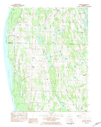
1975 Mancelona NE
Antrim County, MI
1975 Mancelona NW
Antrim County, MI
1983 Atwood
Antrim County, MI
1983 Chestonia
Antrim County, MI
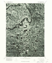
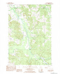
1983 Scotts Lake
Antrim County, MI
1986 Deadmans Hill
Antrim County, MI
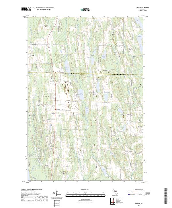
2023 Atwood
Antrim County, MI
2023 Atwood OE W
Antrim County, MI
2023 Central Lake OE W
Antrim County, MI

2023 Chestonia
Antrim County, MI
2023 Deadmans Hill
Antrim County, MI
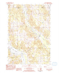
2023 Scotts Lake
Antrim County, MI
Featured Locations
- South Arm Township, MI
- Banks Township, MI
- Central Lake Township, MI
- Echo Township, MI
- Central Lake, Central Lake Township