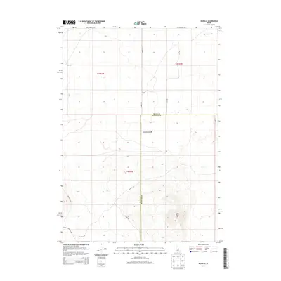
2013 Map of Scoville
USGS Topo · Published 2013About this map
Scoville and Cerro Grande anchor this high-desert landscape in southeastern Idaho, where the high plains meet the base of volcanic terrain. The map captures a transition from the level expanse of Ryegrass Flat to the prominent relief of Cedar Butte in the southeastern quadrant. This area is defined by its sparse settlement and an extensive grid of service and access roads, including Number 8 Rd and T-16 Rd.
Find a feature on this map
14 named features on this map. Tap any name to fly to it.
Don’t see what you’re looking for? This feature index may not catch every label — zoom into the map to look around manually.
Map Details
Editions of this 2013 Scoville Map
This is the sole edition of this map. No revisions or reprints were ever made.
Other maps of this area

1955 · Idaho Falls
USGS Topo · 1:250,000

1958 · Idaho Falls
USGS Topo · 1:250,000

1972 · Arco Hills SE
USGS Topo · 1:24,000

1972 · Big Southern Butte
USGS Topo · 1:24,000

1972 · Sunset Lake
USGS Topo · 1:24,000

1973 · Scoville
USGS Topo · 1:24,000

1973 · Rock Butte
USGS Topo · 1:24,000

1973 · Atomic City
USGS Topo · 1:24,000

1973 · Lava Lake Reservoir
USGS Topo · 1:24,000

1973 · Circular Butte 3 SW
USGS Topo · 1:24,000