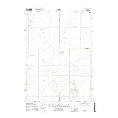
2017 Map of Scoville
USGS Topo · Published 2017About this map
Scoville sits along the northwestern edge of this landscape where Tarragut Blvd enters the desert terrain. This 2017 survey by the U.S. Geological Survey illustrates the transition from the relatively level Ryegrass Flat in the north to the prominent volcanic features of the Snake River Plain. The southern half of the map is dominated by the massive rise of Cedar Butte, while the distinct peak of Cerro Grande stands near the boundary between Butte and Bingham Counties. The straight lines of Big Southern Butte Rd and Number 8 Rd provide the primary human infrastructure through this sparsely populated region, crossing through various townships including t2n r29e and t1n r30e. This document records the topographical detail of these landmarks before any subsequent land use changes.
Find a feature on this map
12 named features on this map. Tap any name to fly to it.
Don’t see what you’re looking for? This feature index may not catch every label — zoom into the map to look around manually.
Map Details
Editions of this 2017 Scoville Map
This is the sole edition of this map. No revisions or reprints were ever made.
Other maps of this area

1955 · Idaho Falls
USGS Topo · 1:250,000

1958 · Idaho Falls
USGS Topo · 1:250,000

1972 · Arco Hills SE
USGS Topo · 1:24,000

1972 · Big Southern Butte
USGS Topo · 1:24,000

1972 · Sunset Lake
USGS Topo · 1:24,000

1973 · Scoville
USGS Topo · 1:24,000

1973 · Rock Butte
USGS Topo · 1:24,000

1973 · Atomic City
USGS Topo · 1:24,000

1973 · Lava Lake Reservoir
USGS Topo · 1:24,000

1973 · Circular Butte 3 SW
USGS Topo · 1:24,000