
1969 Map of Scranton
USGS Topo · Published 1971About this map
Scranton serves as the primary hub of this North Dakota landscape, situated along the tracks of the Chicago Milwaukee St Paul and Pacific railroad. The mapping reveals a rural economy centered on the rail line, with the town's grid and the nearby Scranton Cem providing essential records for local genealogy. To the west, the settlement of Buffalo Springs sits adjacent to Buffalo Springs Lake, a notable water feature in this prairie environment.
Find a feature on this map
14 named features on this map. Tap any name to fly to it.
Don’t see what you’re looking for? This feature index may not catch every label — zoom into the map to look around manually.
Map Details
Editions of this 1969 Scranton Map
This is the sole edition of this map. No revisions or reprints were ever made.
Other maps of this area

1953 · Dickinson
USGS Topo · 1:250,000

1957 · Dickinson
USGS Topo · 1:250,000

1969 · Gascoyne
USGS Topo · 1:24,000

1969 · Scranton NE
USGS Topo · 1:24,000

1973 · Warnke Hill
USGS Topo · 1:24,000

1973 · Mineral Springs
USGS Topo · 1:24,000

1973 · Talbot Butte
USGS Topo · 1:24,000

1973 · Amidon SE
USGS Topo · 1:24,000
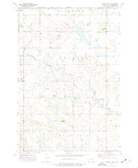
1973 · Scranton SW
USGS Topo · 1:24,000
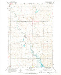
1973 · Bowman SE
USGS Topo · 1:24,000