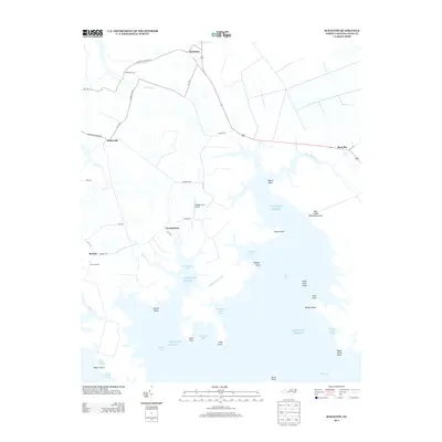
2013 Map of Scranton
USGS Topo · Published 2013About this map
Germantown and Scranton anchor this Hyde County coastal survey, where the terrestrial landscape of eastern North Carolina gives way to the intricate shoreline of the Atlantic Ocean. The map reveals a region defined by its relationship with the water, showing a network of points and bays such as Spencer Point, Ranger Point, and Striking Bay. Inland, the settlement pattern follows historical corridors like Sladesville-Credle Rd, connecting small communities such as Sladesville and Beulah. Notable landmarks include Stave Landing and Hodges Farm Airport, reflecting both the traditional maritime access points and more modern infrastructure. The presence of Bell Island Recreation Area and numerous shoals like Swan Point Shoal highlight the area's dual character as a site of coastal navigation and low-lying wetlands.
Find a feature on this map
54 named features on this map. Tap any name to fly to it.
Don’t see what you’re looking for? This feature index may not catch every label — zoom into the map to look around manually.
Map Details
Editions of this 2013 Scranton Map
This is the sole edition of this map. No revisions or reprints were ever made.
Other maps of this area

1914 · Belhaven
USGS Topo · 1:48,000

1916 · Belhaven
USGS Topo · 1:62,500

1943 · Columbia
USGS Topo · 1:125,000

1943 · Plymouth
USGS Topo · 1:125,000

1950 · Lowland
USGS Topo · 1:24,000

1951 · Pamlico Point
USGS Topo · 1:24,000

1951 · Great Island
USGS Topo · 1:24,000

1951 · Pamlico Beach
USGS Topo · 1:24,000

1951 · Belhaven
USGS Topo · 1:24,000

1951 · Scranton
USGS Topo · 1:24,000