
1953 Map of Scranton
USGS Topo · Published 1953About this map
Scranton and Wilkes-Barre anchor a landscape defined by the anthracite coal valleys and the high plateaus of the Pocono Mountains and Catskill Mountains in the early 1950s. This regional study reveals a complex industrial infrastructure where the Delaware Lackawanna & Western RR and the Erie Railroad navigate the steep grades of the Moosic Mountains. The map illustrates the strategic importance of water management for the New York City region, showing the newly completed or expanding Pepacton Reservoir, Neversink Reservoir, and Ashokan Reservoir. From the industrial corridors of Pittston and Nanticoke to the military grounds at West Point Military Reservation along the Hudson River, the sheet captures a period of high-density rail traffic and established mountain tourism before the interstate highway system shifted the region's transport patterns.
Find a feature on this map
149 named features on this map. Tap any name to fly to it.
Don’t see what you’re looking for? This feature index may not catch every label — zoom into the map to look around manually.
Map Details
Editions of this 1953 Scranton Map
This is the sole edition of this map. No revisions or reprints were ever made.
Historical Maps of Hardwick Township Through Time
14 maps found

1889 Scranton
Lackawanna County, PA

1891 Scranton
Lackawanna County, PA
1893 Scranton
Lackawanna County, PA

1943 Scranton
Lackawanna County, PA
1947 Scranton
Lackawanna County, PA
1950 Scranton
Lackawanna County, PA

1950 Scranton
Lackawanna County, PA
1953 Scranton
Lackawanna County, PA

1959 Scranton
Lackawanna County, PA
1962 Scranton
Lackawanna County, PA
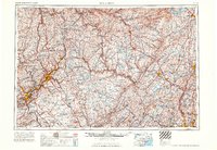
1965 Scranton
Lackawanna County, PA
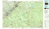
1986 Scranton
Lackawanna County, PA
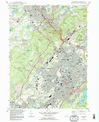
1994 Scranton
Lackawanna County, PA
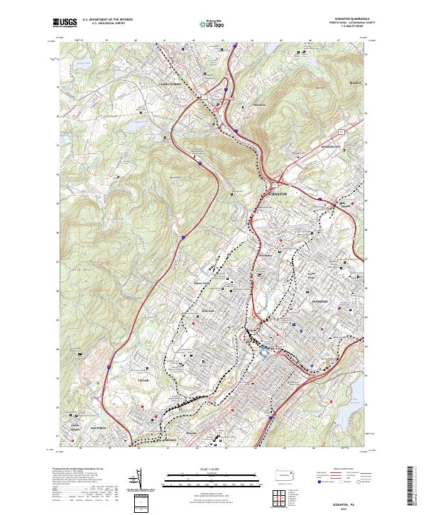
2023 Scranton
Lackawanna County, PA