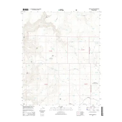
2014 Map of Scratch Canyon
USGS Topo · Published 2014About this map
Prescott National Forest encompasses the eastern edge of this Yavapai County landscape, where the high desert terrain is defined by deep drainages and volcanic remnants. Black Butte stands as a prominent central landmark above a network of canyons including Scratch Canyon, Jerky Canyon, and Deep Canyon. The reliance on seasonal water management is evident through the high density of named tanks, such as Mexican Nest Tank, Seven Up Pasture Tank, and the Bar Thirty Seven Tank, which supported cattle ranching across this arid environment. Significant topographical features like Little Shirttail Mesa and Bozarth Mesa dominate the western sections, while Windy Ridge and the aptly named Hole in the Ground mark the varied elevation. This 2014 survey documents the rugged infrastructure of ranching and forestry roads like Sand Stone Rd and W Campwood Rd.
Find a feature on this map
56 named features on this map. Tap any name to fly to it.
Don’t see what you’re looking for? This feature index may not catch every label — zoom into the map to look around manually.
Map Details
Editions of this 2014 Scratch Canyon Map
This is the sole edition of this map. No revisions or reprints were ever made.
Other maps of this area

1887 · Prescott
USGS Topo · 1:250,000

1892 · Prescott
USGS Topo · 1:250,000

1923 · Signal
USGS Topo · 1:250,000

1942 · Signal
USGS Topo · 1:250,000

1945 · Bagdad
USGS Topo · 1:62,500

1947 · Sheridan Mountain
USGS Topo · 1:62,500

1947 · Camp Wood
USGS Topo · 1:62,500

1948 · Sheridan Mountain
USGS Topo · 1:63,360

1948 · Camp Wood
USGS Topo · 1:63,360

1948 · Bagdad
USGS Topo · 1:62,500