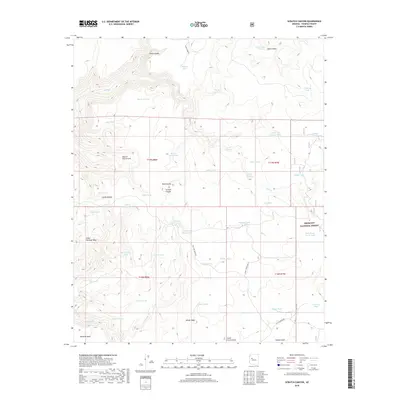
2018 Map of Scratch Canyon
USGS Topo · Published 2018About this map
Prescott National Forest encompasses much of this high-altitude Yavapai County landscape, defined by a complex network of canyons and mesas. The terrain is marked by distinctive geological features such as Black Butte, Little Shirttail Mesa, and the unique depression known as Hole in the Ground. A series of water management sites are distributed across the land, including Seven Up Pasture Tank, Halfway House Tank, and Whistle Tank, which supported the region's ranching and resource needs.
Find a feature on this map
57 named features on this map. Tap any name to fly to it.
Don’t see what you’re looking for? This feature index may not catch every label — zoom into the map to look around manually.
Map Details
Editions of this 2018 Scratch Canyon Map
This is the sole edition of this map. No revisions or reprints were ever made.
Other maps of this area

1887 · Prescott
USGS Topo · 1:250,000

1892 · Prescott
USGS Topo · 1:250,000

1923 · Signal
USGS Topo · 1:250,000

1942 · Signal
USGS Topo · 1:250,000

1945 · Bagdad
USGS Topo · 1:62,500

1947 · Sheridan Mountain
USGS Topo · 1:62,500

1947 · Camp Wood
USGS Topo · 1:62,500

1948 · Sheridan Mountain
USGS Topo · 1:63,360

1948 · Camp Wood
USGS Topo · 1:63,360

1948 · Bagdad
USGS Topo · 1:62,500