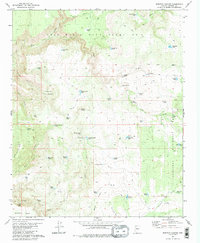
1980 Map of Scratch Canyon
USGS Topo · Published 1980About this map
Luis Maria Baca Float No 5 dominates the northern landscape of this Yavapai County region, representing a unique chapter in Arizona land grant history. This territory is defined by a sparse ranching infrastructure where water management is paramount, evidenced by a dense network of catchment features such as Yellow Hammer Tank, Mexican-Nest Tank, and 7 UP Pasture Tank. The isolation of the terrain is punctuated by the presence of Halfway House, a focal point for travelers navigating the canyons and mesas between the Prescott National Forest and the high plateaus.
Find a feature on this map
58 named features on this map. Tap any name to fly to it.
Don’t see what you’re looking for? This feature index may not catch every label — zoom into the map to look around manually.
Map Details
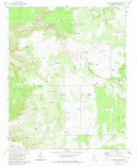
Editions of this 1980 Scratch Canyon Map
2 editions found
Other maps of this area

1887 · Prescott
USGS Topo · 1:250,000

1892 · Prescott
USGS Topo · 1:250,000

1923 · Signal
USGS Topo · 1:250,000

1942 · Signal
USGS Topo · 1:250,000

1945 · Bagdad
USGS Topo · 1:62,500

1947 · Sheridan Mountain
USGS Topo · 1:62,500

1947 · Camp Wood
USGS Topo · 1:62,500

1948 · Sheridan Mountain
USGS Topo · 1:63,360

1948 · Camp Wood
USGS Topo · 1:63,360

1948 · Bagdad
USGS Topo · 1:62,500