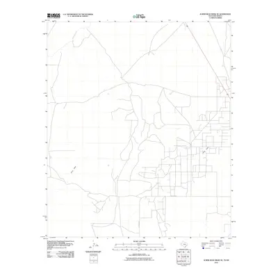
2010 Map of Screw Bean Draw NE
USGS Topo · Published 2010About this map
Delaware River cuts across the northern edge of this arid borderlands landscape, marking a critical water source in the Trans-Pecos region of West Texas. The terrain is defined by a dense, systematic network of access roads and industrial development typical of the Permian Basin's energy infrastructure during the early 21st century. Running south through the center of the quadrangle is China Draw, a significant drainage feature that shapes the local topography. For those interested in the regional transport and connectivity between Texas and New Mexico, the presence of Carlsbad Rd provides a primary corridor through this desert environment. The map reveals how modern resource extraction has overlaid a complex geometric grid onto the natural geography of the Chihuahuan Desert.
Find a feature on this map
3 named features on this map. Tap any name to fly to it.
Don’t see what you’re looking for? This feature index may not catch every label — zoom into the map to look around manually.
Map Details
Editions of this 2010 Screw Bean Draw NE Map
This is the sole edition of this map. No revisions or reprints were ever made.
Other maps of this area

1925 · Orla 2-b
USGS Topo · 1:48,000

1931 · Orla
USGS Topo · 1:62,500

1945 · Malaga
USGS Topo · 1:62,500

1946 · Malaga
USGS Topo · 1:62,500

1954 · Carlsbad
USGS Topo · 1:250,000

1954 · Hobbs
USGS Topo · 1:250,000

1954 · Van Horn
USGS Topo · 1:250,000

1954 · Pecos
USGS Topo · 1:250,000

1957 · Pecos
USGS Topo · 1:250,000

1958 · Van Horn
USGS Topo · 1:250,000