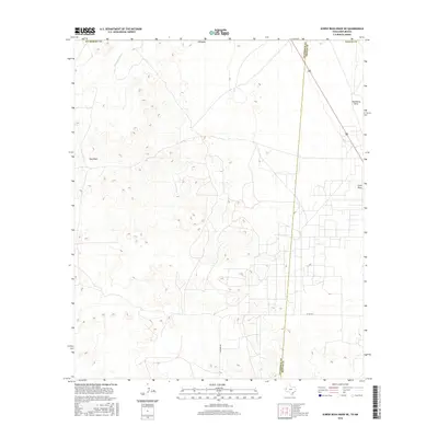
2016 Map of Screw Bean Draw NE
USGS Topo · Published 2016About this map
Delaware River meanders across the northwest corner of this arid landscape, defining a primary drainage in a region dominated by ephemeral watercourses. The terrain is characterized by numerous incisions into the plateau, most notably at Gyp Draw and Hackberry Draw, which reflect the area's geology and intermittent hydrological patterns. Near the eastern edge, China Draw further marks the relief, while human presence is primarily indicated by a sparse grid of ranch and access roads. The boundary between Culberson and Reeves counties cuts diagonally through the area, bisecting the network of local transit routes such as Carlsbad Rd and Co Rd 449. This 2016 survey captures the balance between natural erosional features and the long-established county lines of West Texas.
Find a feature on this map
10 named features on this map. Tap any name to fly to it.
Don’t see what you’re looking for? This feature index may not catch every label — zoom into the map to look around manually.
Map Details
Editions of this 2016 Screw Bean Draw NE Map
This is the sole edition of this map. No revisions or reprints were ever made.
Other maps of this area

1925 · Orla 2-b
USGS Topo · 1:48,000

1931 · Orla
USGS Topo · 1:62,500

1945 · Malaga
USGS Topo · 1:62,500

1946 · Malaga
USGS Topo · 1:62,500

1954 · Carlsbad
USGS Topo · 1:250,000

1954 · Hobbs
USGS Topo · 1:250,000

1954 · Van Horn
USGS Topo · 1:250,000

1954 · Pecos
USGS Topo · 1:250,000

1957 · Pecos
USGS Topo · 1:250,000

1958 · Van Horn
USGS Topo · 1:250,000