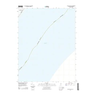
2014 Map of Sea Isle City OE E
USGS Topo · Published 2014About this map
Ocean City occupies the northwestern corner of this coastal survey, where the grid of city streets meets the expanse of the Atlantic Ocean. This map primarily documents the offshore waters and the maritime boundary of Cape May Co within New Jersey. The urban infrastructure captured here is limited to a small residential and commercial section of the island, specifically defined by thoroughfares including Asbury Ave, Central Ave, and W Ave. While the majority of the sheet is dedicated to the sea, it provides a precise record of the shoreline position and street layout of this resort community as it existed in the early 21st century, offering a clear reference for researchers studying coastal development or local family addresses in this specific neighborhood.
Find a feature on this map
6 named features on this map. Tap any name to fly to it.
Don’t see what you’re looking for? This feature index may not catch every label — zoom into the map to look around manually.
Map Details
Editions of this 2014 Sea Isle City OE E Map
This is the sole edition of this map. No revisions or reprints were ever made.
Other maps of this area

1884 · Sea Isle
USGS Topo · 1:62,500

1887 · Atlantic City
USGS Topo · 1:62,500

1888 · Sea Isle
USGS Topo · 1:62,500

1890 · Great Egg Harbor
USGS Topo · 1:62,500

1893 · Great Egg Harbor
USGS Topo · 1:62,500

1894 · Sea Isle
USGS Topo · 1:62,500

1894 · Atlantic City
USGS Topo · 1:62,500

1918 · Great Egg Harbor
USGS Topo · 1:62,500

1919 · Sea Isle
USGS Topo · 1:62,500

1940 · Atlantic City
USGS Topo · 1:62,500