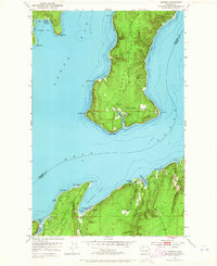
1953 Map of Seabeck
USGS Topo · Published 1965About this map
The timber-lined shores of Hood Canal and Dabob Bay define the character of this mid-century maritime landscape, where small waterfront settlements and recreational grounds cluster along the Kitsap and Jefferson county lines. The community of Seabeck serves as a focal point on the southern shore, situated near the Conference Grounds and the mouth of Seabeck Creek. Across the water, the Toandos Peninsula extends southward, terminating at Oak Head and Hazel Pt, with the small settlement of Coyle tucked between Fisherman Harbor and the Hazel Point Road. This survey captures a transitional period of coastal development, shown through the established Camp Parsons at Jackson Cove and the string of seasonal destinations like Miami Beach and Scenic Beach. A large Naval Reservation occupies the northeastern peninsula, while the interior is marked by the drainages of Big Beef Creek and Little Beef Creek.
Find a feature on this map
34 named features on this map. Tap any name to fly to it.
Don’t see what you’re looking for? This feature index may not catch every label — zoom into the map to look around manually.
Map Details
Editions of this 1953 Seabeck Map
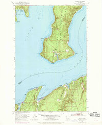
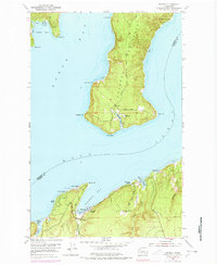
4 editions found
Other maps of this area

1936 · Point Misery
USGS Topo · 1:62,500

1937 · Port Orchard
USGS Topo · 1:62,500

1937 · Port Gamble
USGS Topo · 1:62,500

1940 · Port Gamble
USGS Topo · 1:62,500

1940 · Point Misery
USGS Topo · 1:62,500

1940 · Quilcene
USGS Topo · 1:62,500

1953 · Seabeck
USGS Topo · 1:24,000

1953 · Poulsbo
USGS Topo · 1:24,000

1953 · Quilcene
USGS Topo · 1:24,000

1953 · Mt. Walker
USGS Topo · 1:24,000