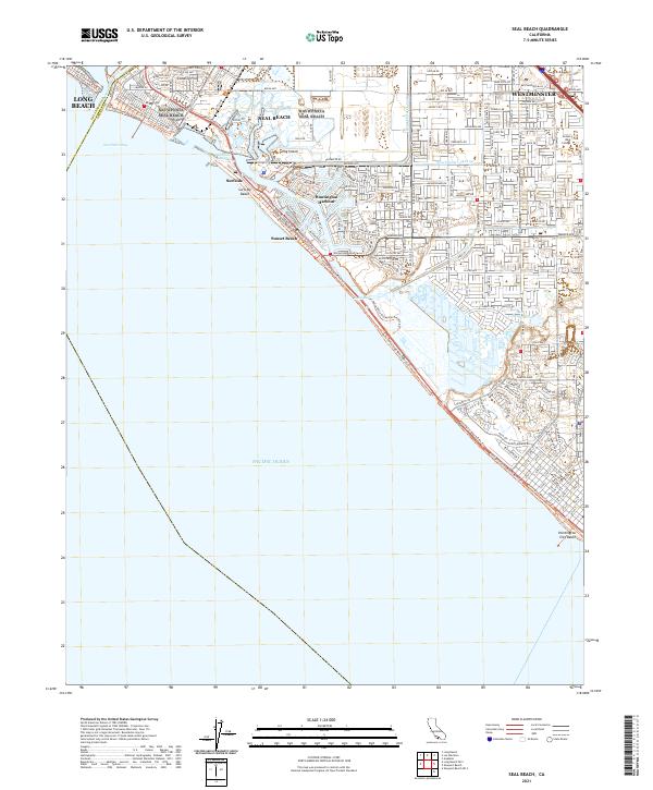
1935 Map of Seal Beach
USGS Topo · Published 1935About this map
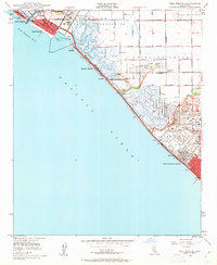
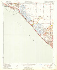
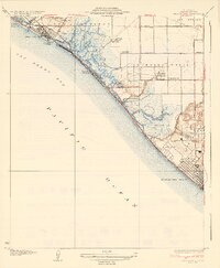
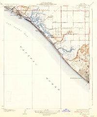
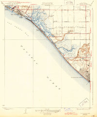
Anaheim Bay and its complex network of marshes dominate the Orange County coastline between Seal Beach and Huntington Beach in the early 1930s. The landscape is a mix of tidal flats and developing coastal towns, with the Pacific Electric railway and Coast Highway No 60 providing the primary transportation corridor along the Pacific edge. This era shows a distinctive land use pattern characterized by numerous private recreational tracts, specifically gun clubs such as the Sunset Gun Club, Los Patos Gun Club, and Bolsa Chica Gun Club, which occupied the wetlands before mid-century development transformed the region. Inland, the transition from marsh to agriculture is marked by the Springdale Sch and the community of Wintersburg. Significant historical landmarks like Anaheim Landing and the Landing Field near Landing Hill reflect the area's maritime and early aviation history.
Find a feature on this map
33 named features on this map. Tap any name to fly to it.
Don’t see what you’re looking for? This feature index may not catch every label — zoom into the map to look around manually.
Map Details
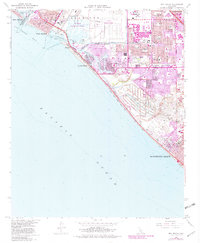
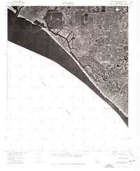
Editions of this 1935 Seal Beach Map
3 editions found
Historical Maps of Long Beach Through Time
9 maps found