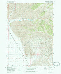
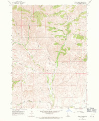
1979 Map of Seamans Creek
USGS Topo · Published 1986About this map
The Union Pacific railroad corridor cuts a diagonal path across this high-desert landscape in south-central Idaho, marking the transition from the irrigated valley floors to the sharp topography of the Wood River valley hinterlands. Water management is a central theme of this 1970s era, evidenced by the extensive network of the Canal system and numerous wells that support local agriculture near Jasper Flats. The map reveals a land defined by its drainages, including the prominent Seamans Creek and the deep incisions of Martin Canyon and Slaughterhouse Creek.
Find a feature on this map
34 named features on this map. Tap any name to fly to it.
Don’t see what you’re looking for? This feature index may not catch every label — zoom into the map to look around manually.
Map Details
Editions of this 1979 Seamans Creek Map
This is the sole edition of this map. No revisions or reprints were ever made.
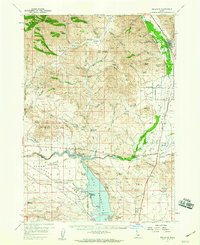
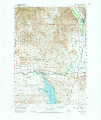
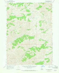
Other maps of this area

1895 · Hailey
USGS Topo · 1:125,000

1897 · Hailey
USGS Topo · 1:125,000

1955 · Hailey
USGS Topo · 1:250,000
1957 · Bellevue
USGS Topo · 1:62,500
1957 · Bellevue
USGS Topo · 1:24,000

1959 · Hailey
USGS Topo · 1:250,000

1962 · Hailey
USGS Topo · 1:250,000
1967 · Baugh Creek SW
USGS Topo · 1:24,000
1967 · Baugh Creek
USGS Topo · 1:24,000
1967 · Hailey
USGS Topo · 1:24,000