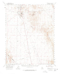
1959 Map of Searchlight
USGS Topo · Published 1978About this map
Searchlight stands as a central hub of activity in this high desert landscape, surrounded by an extensive network of mineral claims and workings. During this era, the town serves as a focal point for operations including the Quartette Mine, Pompeii Mine, and the Boston Searchlight Mine. The survey reveals the industrial density of the northern mountains, where numerous shafts and pits like the Big Casino Mines and Mammoth Mine dot the terrain near Fourth of July Mtn.
Find a feature on this map
41 named features on this map. Tap any name to fly to it.
Don’t see what you’re looking for? This feature index may not catch every label — zoom into the map to look around manually.
Map Details
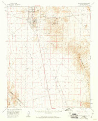
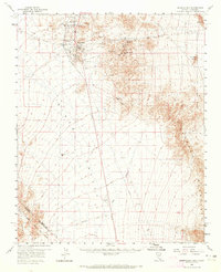
Editions of this 1959 Searchlight Map
3 editions found
Other maps of this area

1886 · Camp Mohave
USGS Topo · 1:250,000

1892 · Camp Mohave
USGS Topo · 1:250,000

1910 · Ivanpah
USGS Topo · 1:250,000

1912 · Ivanpah
USGS Topo · 1:250,000

1926 · Nelson
USGS Topo · 1:96,000

1926 · Mohave City
USGS Topo · 1:96,000

1942 · Camp Mohave
USGS Topo · 1:250,000

1942 · Ivanpah
USGS Topo · 1:250,000

1947 · Kingman
USGS Topo · 1:250,000

1948 · Kingman
USGS Topo · 1:250,000