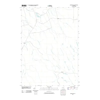
2010 Map of Sears Pond
USGS Topo · Published 2010About this map
Sears Pond sits at the heart of this Lewis County landscape, feeding into a complex network of waterways that define the local geography. Small settlements like Hooker, Parkers, and Monteola are connected by a system of rural routes and primitive tracks, including Sears Pond Rd and Flat Rock Rd. The area is notably defined by its river forks, where the Mad River meets its various tributaries such as the North Branch and South Branch.
Find a feature on this map
31 named features on this map. Tap any name to fly to it.
Don’t see what you’re looking for? This feature index may not catch every label — zoom into the map to look around manually.
Map Details
Editions of this 2010 Sears Pond Map
This is the sole edition of this map. No revisions or reprints were ever made.
Other maps of this area

1895 · Watertown
USGS Topo · 1:62,500

1898 · Watertown
USGS Topo · 1:62,500

1902 · Carthage
USGS Topo · 1:62,500

1903 · Orwell
USGS Topo · 1:62,500

1904 · Carthage
USGS Topo · 1:62,500

1905 · Orwell
USGS Topo · 1:62,500

1906 · Highmarket
USGS Topo · 1:62,500

1908 · Watertown
USGS Topo · 1:62,500

1909 · Watertown
USGS Topo · 1:62,500

1942 · Redfield
USGS Topo · 1:24,000