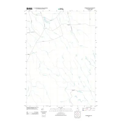
2013 Map of Sears Pond
USGS Topo · Published 2013About this map
Sears Pond sits at the northern height of this Tug Hill Plateau landscape, where a dense network of headwaters begins their descent. The map area is defined by the diverging paths of the Deer River system flowing north and the Mad River branches winding south. Small, isolated settlements like Hooker and Parkers are connected by a sparse grid of forest roads, including Worth Rd and Sears Pond Rd. The terrain is characterized by numerous named tributaries such as Hooker Brook, Sevenmile Cr, and McNeil Cr, which carve through the plateau. This 2013 survey illustrates the modern persistence of the region's wilderness character, where human impact is limited to narrow corridors like the Running George Trk Trl and a few scattered homesteads along the rural routes.
Find a feature on this map
34 named features on this map. Tap any name to fly to it.
Don’t see what you’re looking for? This feature index may not catch every label — zoom into the map to look around manually.
Map Details
Editions of this 2013 Sears Pond Map
This is the sole edition of this map. No revisions or reprints were ever made.
Other maps of this area

1895 · Watertown
USGS Topo · 1:62,500

1898 · Watertown
USGS Topo · 1:62,500

1902 · Carthage
USGS Topo · 1:62,500

1903 · Orwell
USGS Topo · 1:62,500

1904 · Carthage
USGS Topo · 1:62,500

1905 · Orwell
USGS Topo · 1:62,500

1906 · Highmarket
USGS Topo · 1:62,500

1908 · Watertown
USGS Topo · 1:62,500

1909 · Watertown
USGS Topo · 1:62,500

1942 · Redfield
USGS Topo · 1:24,000