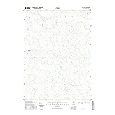
2016 Map of Sears Pond
USGS Topo · Published 2016About this map
Sears Pond and the surrounding Lewis County highlands anchor this 2016 survey, a landscape defined by an intricate network of waterways and early industrial remnants. The settlements of Parkers, Hooker, and Monteola mark small nodes of human activity within a heavily forested area drained by the Mad River and its various tributaries, including the N Br Mad River and S Br Mad River.
Find a feature on this map
38 named features on this map. Tap any name to fly to it.
Don’t see what you’re looking for? This feature index may not catch every label — zoom into the map to look around manually.
Map Details
Editions of this 2016 Sears Pond Map
This is the sole edition of this map. No revisions or reprints were ever made.
Other maps of this area

1895 · Watertown
USGS Topo · 1:62,500

1898 · Watertown
USGS Topo · 1:62,500

1902 · Carthage
USGS Topo · 1:62,500

1903 · Orwell
USGS Topo · 1:62,500

1904 · Carthage
USGS Topo · 1:62,500

1905 · Orwell
USGS Topo · 1:62,500

1906 · Highmarket
USGS Topo · 1:62,500

1908 · Watertown
USGS Topo · 1:62,500

1909 · Watertown
USGS Topo · 1:62,500

1942 · Redfield
USGS Topo · 1:24,000