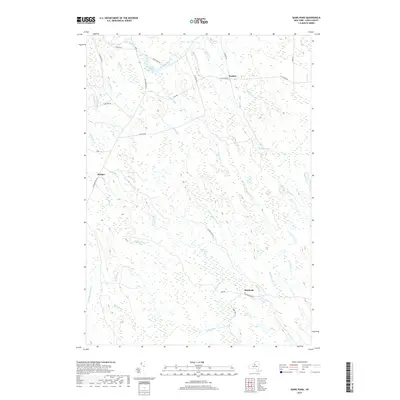
2019 Map of Sears Pond
USGS Topo · Published 2019About this map
Monteola and Hooker anchor this remote Lewis County landscape, which is defined by a dense network of tributaries feeding the region’s principal waterways. The southern portion of the map is dominated by the upper reaches of the Mad River, where its north and south branches converge near old industrial footprints. Evidence of former timber or transit corridors is visible along Railroad Bed Rd, which cuts through the wetland-rich terrain near Lilypad Cr and Sevenmile Cr.
Find a feature on this map
38 named features on this map. Tap any name to fly to it.
Don’t see what you’re looking for? This feature index may not catch every label — zoom into the map to look around manually.
Map Details
Editions of this 2019 Sears Pond Map
This is the sole edition of this map. No revisions or reprints were ever made.
Other maps of this area

1895 · Watertown
USGS Topo · 1:62,500

1898 · Watertown
USGS Topo · 1:62,500

1902 · Carthage
USGS Topo · 1:62,500

1903 · Orwell
USGS Topo · 1:62,500

1904 · Carthage
USGS Topo · 1:62,500

1905 · Orwell
USGS Topo · 1:62,500

1906 · Highmarket
USGS Topo · 1:62,500

1908 · Watertown
USGS Topo · 1:62,500

1909 · Watertown
USGS Topo · 1:62,500

1942 · Redfield
USGS Topo · 1:24,000