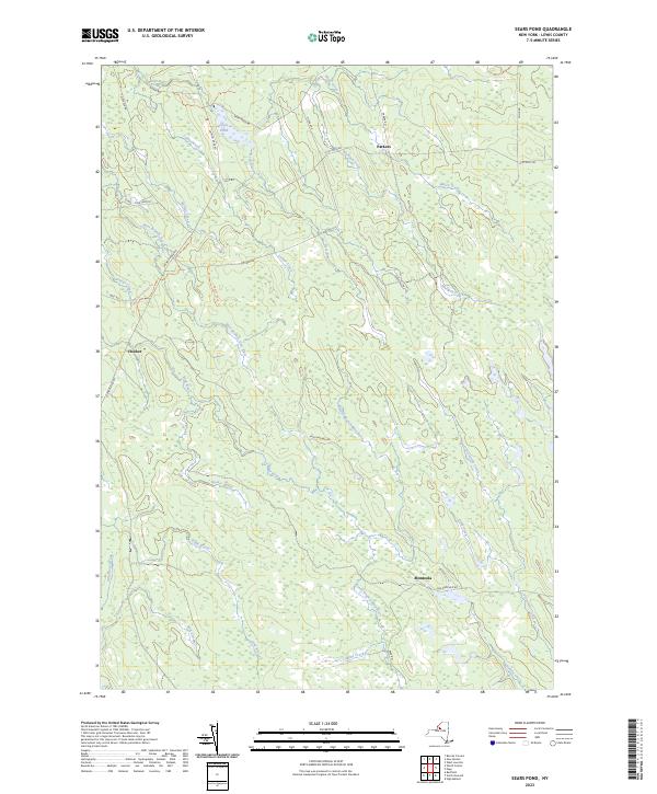
2023 Map of Sears Pond
USGS Topo · Published 2023About this map
Sears Pond and the surrounding Lewis County uplands are defined by a complex network of waterways feeding the Deer River and Mad River systems. This landscape is characterized by its numerous branches and creeks, such as North Branch Mad River and the West Branch Deer River, which weave through the terrain between small settlements like Hooker and Monteola. The presence of Railroad Bed Rd indicates the area's historical connection to regional transit and resource extraction, while local routes like Salmon River Rd and Sears Pond Rd provide access to the remote ponds and brooks. For the researcher, the map preserves the exact locations of older hamlets like Parkers and family-named landmarks like Tom Sawyer Trl, offering a detailed view of the rural landscape in the twenty-first century.
Find a feature on this map
39 named features on this map. Tap any name to fly to it.
Don’t see what you’re looking for? This feature index may not catch every label — zoom into the map to look around manually.
Map Details
Editions of this 2023 Sears Pond Map
This is the sole edition of this map. No revisions or reprints were ever made.
Other maps of this area

1895 · Watertown
USGS Topo · 1:62,500

1898 · Watertown
USGS Topo · 1:62,500

1902 · Carthage
USGS Topo · 1:62,500

1903 · Orwell
USGS Topo · 1:62,500

1904 · Carthage
USGS Topo · 1:62,500

1905 · Orwell
USGS Topo · 1:62,500

1906 · Highmarket
USGS Topo · 1:62,500

1908 · Watertown
USGS Topo · 1:62,500

1909 · Watertown
USGS Topo · 1:62,500

1942 · Redfield
USGS Topo · 1:24,000