Loading...
Loading map...2022 Map of Searsboro
USGS Topo · Published 2022About this map
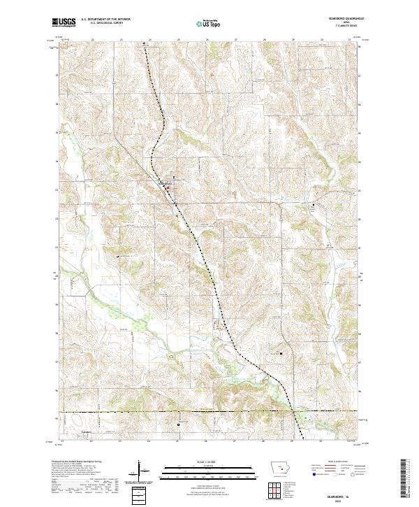
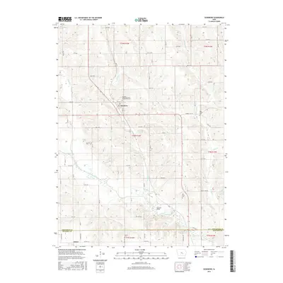
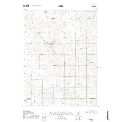
Searsboro sits at the northern end of a landscape defined by the winding course of the North Skunk River and its many tributaries. This survey captures the rural character of southeastern Poweshiek County, where the terrain is etched by drainage systems like English Creek, Sugar Creek, and the various branches of Buck Creek. The grid of county roads, including the historical corridor of Diamond Trail Road, connects small settlements and isolated homesteads.
Find a feature on this map
66 named features on this map. Tap any name to fly to it.
Don’t see what you’re looking for? This feature index may not catch every label — zoom into the map to look around manually.
Map Details
Date Portrayed2022
Date Published2022
PublisherU.S. Geological Survey
Map TypeTopographic
Scale1:24,000
Physical Dimensions24 x 29 inches
Editions of this 2022 Searsboro Map
This is the sole edition of this map. No revisions or reprints were ever made.
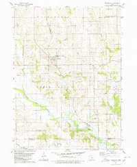
Historical Maps of Searsboro Through Time
6 maps found
Featured Locations
Source Details
SourceU.S. Geological Survey
CopyrightPublic Domain