
1949 Map of Seattle North
USGS Topo · Published 1956About this map
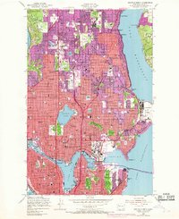
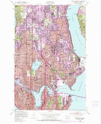
University of Washington dominates the southern landscape of this 1949 survey, situated between Lake Union and the broad waters of Lake Washington. The urban grid of North Seattle is clearly defined, reaching from the shores of Puget Sound to the developed neighborhoods of Ravenna, Wallingford, and Queen Anne. This era captures the city's mid-century expansion, where established centers like Fremont and Ballard High School sit alongside significant specialized facilities such as the U S Naval Air Station at Sand Point and the Firland Sanatorium. The importance of the city's waterways is evident in the detailed mapping of the Lake Washington Canal and the Salmon Bay Waterway, which connect the interior lakes to the sound. Infrastructure for a growing population is marked by numerous schools, cemeteries like Washelli Cem, and recreational landmarks including the Seattle Country Club and Playland.
Find a feature on this map
98 named features on this map. Tap any name to fly to it.
Don’t see what you’re looking for? This feature index may not catch every label — zoom into the map to look around manually.
Map Details
Editions of this 1949 Seattle North Map
3 editions found
Other maps of this area

1894 · Seattle
USGS Topo · 1:62,500

1895 · Snohomish
USGS Topo · 1:125,000

1897 · Seattle
USGS Topo · 1:125,000

1908 · Seattle
USGS Topo · 1:62,500

1909 · Seattle Special
USGS Topo · 1:62,500

1942 · Edmonds
USGS Topo · 1:62,500

1944 · Everett
USGS Topo · 1:62,500

1949 · Shilshole Bay
USGS Topo · 1:24,000
1949 · Duwamish Head
USGS Topo · 1:24,000
1949 · Seattle South
USGS Topo · 1:24,000