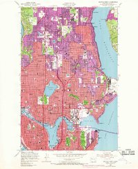
1949 Map of Seattle North
USGS Topo · Published 1968About this map
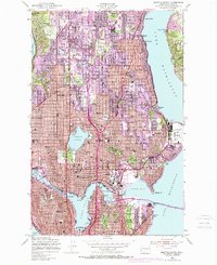
The University of Washington and the U S Naval Air Station define the eastern shoreline of this detailed 1949 survey, which captures the northward expansion of Seattle into King County. Significant post-war urban growth is documented in purple revisions from 1968, showing the densification of neighborhoods like Lake City, Greenwood, and Wallingford. The map traces the vital maritime corridor of the Lake Washington Ship Canal, including the Ballard Bridge and the George Washington Memorial Bridge. Inland, recreational and cultural landmarks such as Green Lake with its Aqua Theater, the Broadmoor Golf Club, and several large cemeteries like Washelli Cem provide a look at the mid-century city's layout. Industrial and military presence is noted at the Naval Reserve Training Center on Lake Union and the rail lines of the Great Northern and Northern Pacific railroads.
Find a feature on this map
100 named features on this map. Tap any name to fly to it.
Don’t see what you’re looking for? This feature index may not catch every label — zoom into the map to look around manually.
Map Details
Editions of this 1949 Seattle North Map
3 editions found
Other maps of this area

1894 · Seattle
USGS Topo · 1:62,500

1895 · Snohomish
USGS Topo · 1:125,000

1897 · Seattle
USGS Topo · 1:125,000

1908 · Seattle
USGS Topo · 1:62,500

1909 · Seattle Special
USGS Topo · 1:62,500

1942 · Edmonds
USGS Topo · 1:62,500

1944 · Everett
USGS Topo · 1:62,500

1949 · Shilshole Bay
USGS Topo · 1:24,000
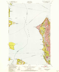
1949 · Duwamish Head
USGS Topo · 1:24,000

1949 · Seattle North
USGS Topo · 1:24,000