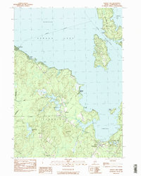
1983 Map of Sebago Lake
USGS Topo · Published 1984About this map
Sebago Lake dominates this 1983 landscape, revealing a transition from the dense woods of the Steep Falls Wildlife Management Area to the established summer communities along the shoreline. In the town of Standish, the map documents several distinct hamlets including Richville and Oak Hill, where local history is anchored by the Oak Hill Chapel and nearby Oak Hill Cem. The industrial footprint of the era is evident through numerous Sand & Gravel Pits and the Rich Millpond, suggesting a landscape shaped by both natural resources and recreational growth.
Find a feature on this map
45 named features on this map. Tap any name to fly to it.
Don’t see what you’re looking for? This feature index may not catch every label — zoom into the map to look around manually.
Map Details
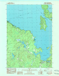
Editions of this 1983 Sebago Lake Map
2 editions found
Other maps of this area

1891 · Portland
USGS Topo · 1:62,500

1891 · Buxton
USGS Topo · 1:62,500

1892 · Buxton
USGS Topo · 1:62,500

1893 · Portland
USGS Topo · 1:62,500

1893 · Buxton
USGS Topo · 1:62,500

1894 · Gray
USGS Topo · 1:62,500

1896 · Sebago
USGS Topo · 1:62,500

1898 · Gray
USGS Topo · 1:62,500

1914 · Portland
USGS Topo · 1:48,000

1916 · Portland
USGS Topo · 1:62,500