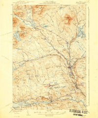
1943 Map of Sebec
USGS Topo · Published 1943About this map
The West Branch Pleasant River and the East Branch Pleasant River converge near the rail-heavy corridor of Brownville Junction, defining the industrial and natural geography of this Maine landscape. The presence of Katahdin Iron Works near Silver Lake and Ore Mountain points to the region's metallurgical history, while the surrounding timberlands are crisscrossed by the Hauling Log Road and the Canadian Pacific railroad.
Find a feature on this map
83 named features on this map. Tap any name to fly to it.
Don’t see what you’re looking for? This feature index may not catch every label — zoom into the map to look around manually.
Map Details
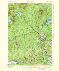
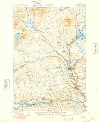
Editions of this 1943 Sebec Map
4 editions found
Other maps of this area

1932 · Dover-Foxcroft
USGS Topo · 1:48,000

1933 · Boyd Lake
USGS Topo · 1:62,500

1933 · Guilford
USGS Topo · 1:62,500

1935 · Dover-Foxcroft
USGS Topo · 1:62,500

1937 · Guilford
USGS Topo · 1:62,500

1940 · Sebec
USGS Topo · 1:48,000

1943 · Sebec
USGS Topo · 1:62,500

1947 · Schoodic
USGS Topo · 1:62,500

1949 · Schoodic
USGS Topo · 1:62,500

1950 · Sebec Lake
USGS Topo · 1:62,500