
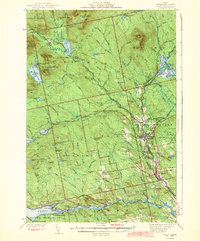
1943 Map of Sebec
USGS Topo · Published 1943About this map
Katahdin Iron Works stands at the confluence of the West Branch Pleasant River and Silver Lake, marking a landscape defined by early industry and rugged woods during the early 1940s. The region is a dense network of water and timber, where the Canadian Pacific and Bangor And ar0ostook railroads intersect at Brownville Junction. This rail hub supported the movement of goods and people across the Piscataquis wilds, connecting smaller settlements like Barnard Corner and Mooresville to the larger economy. Local life is documented through landmarks like the Williamsburg Sch, Barnard Sch, and the Town Farm. From the high elevations of Ebeemee Mountain to the shores of Sebec Lake, the map traces the transition from industrial sites like Dexter Mill Pond to the many sporting camps and landings, including Arnold Camps and Greeley Landing, that served the area's emerging recreation identity.
Find a feature on this map
123 named features on this map. Tap any name to fly to it.
Don’t see what you’re looking for? This feature index may not catch every label — zoom into the map to look around manually.
Map Details
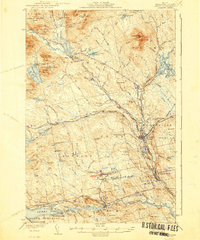
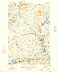
Editions of this 1943 Sebec Map
4 editions found
Other maps of this area

1932 · Dover-Foxcroft
USGS Topo · 1:48,000

1933 · Boyd Lake
USGS Topo · 1:62,500

1933 · Guilford
USGS Topo · 1:62,500

1935 · Dover-Foxcroft
USGS Topo · 1:62,500

1937 · Guilford
USGS Topo · 1:62,500

1940 · Sebec
USGS Topo · 1:48,000

1947 · Schoodic
USGS Topo · 1:62,500

1949 · Schoodic
USGS Topo · 1:62,500

1950 · Sebec Lake
USGS Topo · 1:62,500

1951 · Boyd Lake
USGS Topo · 1:50,000