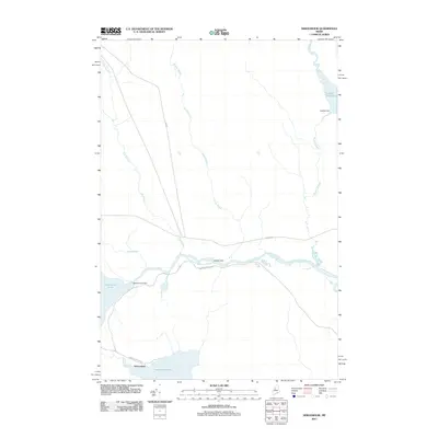
2011 Map of Seboomook
USGS Topo · Published 2011About this map
Moosehead Lake and the settlement of Seboomook anchor this northern Maine landscape where managed waterways define the terrain. The hydrological management of the region is evident through the presence of several structural features, including Seboomook Dam, Old Roll Dam, and Cassidy Dam, which regulate the flow of the West Branch Penobscot River and its tributaries. These dams and the resulting Cassidy Deadwater reflect the long-standing importance of water control for the local logging and paper industries.
Find a feature on this map
16 named features on this map. Tap any name to fly to it.
Don’t see what you’re looking for? This feature index may not catch every label — zoom into the map to look around manually.
Map Details
Editions of this 2011 Seboomook Map
This is the sole edition of this map. No revisions or reprints were ever made.
Other maps of this area

1954 · Seboomook Lake
USGS Topo · 1:62,500

1954 · North East Carry
USGS Topo · 1:62,500

1954 · Caucomgomoc Lake
USGS Topo · 1:62,500

1954 · St. John Pond
USGS Topo · 1:62,500

1954 · Presque Isle
USGS Topo · 1:250,000

1954 · Millinocket
USGS Topo · 1:250,000

1958 · Presque Isle
USGS Topo · 1:250,000

1958 · Millinocket
USGS Topo · 1:250,000

1958 · Caucomgomoc Lake
USGS Topo · 1:62,500

1958 · Saint John Pond
USGS Topo · 1:62,500
Featured Places
- Northeast Carry Township, ME
- Big W Township, ME
- Elm Stream Township, ME
- T4 R15 WELS, ME
- Seboomook, Big W Township