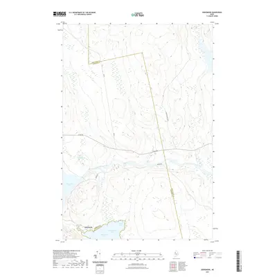
2021 Map of Seboomook
USGS Topo · Published 2021About this map
Seboomook stands at the strategic meeting point of northern Maine's most significant waterways, serving as the northern threshold of Moosehead Lake where it meets the West Branch Penobscot River. This area has long functioned as a critical corridor for the timber industry and wilderness access, defined by the industrial thoroughfare of Golden Rd and the more remote Burbank Rd. The landscape is characterized by the expansive waters of Seboomook Lake and the northern reaches of Moosehead, including Northwest Cove and Mud Cove. The topographical data highlights the drainage patterns of Negro Brook and the winding course of the West Branch, illustrating the complex hydrology of the Somerset and Piscataquis county line as it passes through this sparsely settled forest territory.
Find a feature on this map
13 named features on this map. Tap any name to fly to it.
Don’t see what you’re looking for? This feature index may not catch every label — zoom into the map to look around manually.
Map Details
Editions of this 2021 Seboomook Map
This is the sole edition of this map. No revisions or reprints were ever made.
Other maps of this area

1954 · Seboomook Lake
USGS Topo · 1:62,500

1954 · North East Carry
USGS Topo · 1:62,500

1954 · Caucomgomoc Lake
USGS Topo · 1:62,500

1954 · St. John Pond
USGS Topo · 1:62,500

1954 · Presque Isle
USGS Topo · 1:250,000

1954 · Millinocket
USGS Topo · 1:250,000

1958 · Presque Isle
USGS Topo · 1:250,000

1958 · Millinocket
USGS Topo · 1:250,000

1958 · Caucomgomoc Lake
USGS Topo · 1:62,500

1958 · Saint John Pond
USGS Topo · 1:62,500
Featured Places
- Northeast Carry Township, ME
- Big W Township, ME
- Elm Stream Township, ME
- T4 R15 WELS, ME
- Seboomook, Big W Township