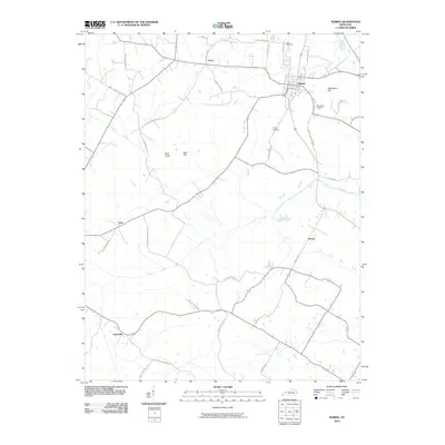
2010 Map of Sebree
USGS Topo · Published 2010About this map
The town of Sebree serves as the primary hub of this Webster County landscape, where the local road network fans out into the surrounding farmland. This 2010 survey shows how established family landmarks and small communities like Pratt, Ortiz, and Gatesville remain anchored by historical thoroughfares such as Sebree Pratt Rd and Old Dixon Slaughters Rd. Genealogy researchers can locate several significant burial sites, including Akins Cemetery north of the town center, and Springdale Cemetery and Ashley Cemetery to the south. The terrain is marked by distinctive elevations like Steamboat Hill and Bald Knob, while the drainage of the area is defined by the winding paths of Knoblick Creek and the East Fork Deer Creek. These watercourses and hills have historically dictated the placement of homesteads and small settlements throughout the region.
Find a feature on this map
39 named features on this map. Tap any name to fly to it.
Don’t see what you’re looking for? This feature index may not catch every label — zoom into the map to look around manually.
Map Details
Editions of this 2010 Sebree Map
This is the sole edition of this map. No revisions or reprints were ever made.
Other maps of this area

1906 · Sebree
USGS Topo · 1:62,500

1907 · Earlington
USGS Topo · 1:48,000

1908 · Calhoun
USGS Topo · 1:62,500

1909 · Earlington
USGS Topo · 1:62,500

1909 · Madisonville
USGS Topo · 1:62,500

1949 · Sebree
USGS Topo · 1:24,000

1949 · Poole
USGS Topo · 1:24,000

1949 · Robards
USGS Topo · 1:24,000

1951 · Dixon
USGS Topo · 1:24,000

1951 · Poole
USGS Topo · 1:24,000