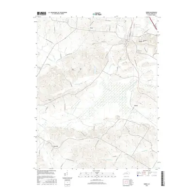
2016 Map of Sebree
USGS Topo · Published 2016About this map
Sebree stands as the primary hub of this Webster County landscape, where the local street grid is defined by its relationship to S Railroad St and the modern Pennyrile Pkwy. The terrain is characterized by a series of prominent rises including Steamboat Hill, Bald Knob, and Beal Hill, which overlook a complex drainage network that includes the Deer Creek and Knoblick Cr.
Find a feature on this map
64 named features on this map. Tap any name to fly to it.
Don’t see what you’re looking for? This feature index may not catch every label — zoom into the map to look around manually.
Map Details
Editions of this 2016 Sebree Map
This is the sole edition of this map. No revisions or reprints were ever made.
Other maps of this area

1906 · Sebree
USGS Topo · 1:62,500

1907 · Earlington
USGS Topo · 1:48,000

1908 · Calhoun
USGS Topo · 1:62,500

1909 · Earlington
USGS Topo · 1:62,500

1909 · Madisonville
USGS Topo · 1:62,500

1949 · Sebree
USGS Topo · 1:24,000

1949 · Poole
USGS Topo · 1:24,000

1949 · Robards
USGS Topo · 1:24,000

1951 · Dixon
USGS Topo · 1:24,000

1951 · Poole
USGS Topo · 1:24,000