2022 Map of Sebree
USGS Topo · Published 2022About this map
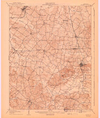
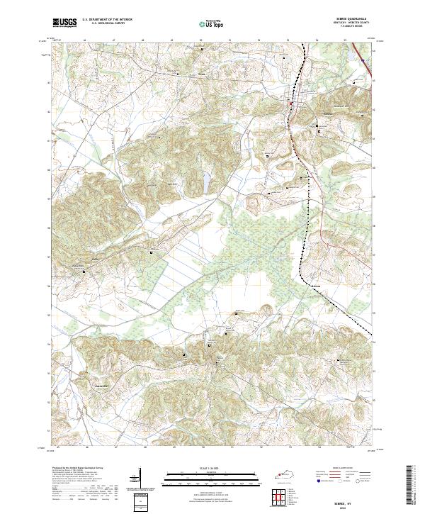
Sebree stands as the primary hub in this portion of Webster County, situated atop elevations like Steamboat Hill and Beal Hill. The landscape is defined by an intricate network of drainage ditches and creeks, such as Melton Ditch, Bailey Ditch, and Knoblick Cr, which navigate the lowlands between scattered rural settlements. Small communities and former stops like Ortiz, Breton, and Gatesville are linked by a web of local roads including Sebree Slaughters Rd and Rakestraw Bottoms Rd.
Find a feature on this map
77 named features on this map. Tap any name to fly to it.
Don’t see what you’re looking for? This feature index may not catch every label — zoom into the map to look around manually.
Map Details
Editions of this 2022 Sebree Map
This is the sole edition of this map. No revisions or reprints were ever made.
Historical Maps of Pratt Through Time
5 maps found