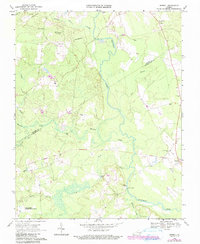
1968 Map of Sebrell
USGS Topo · Published 1990About this map
The Nottoway River meanders through this portion of Tidewater Virginia, defining the boundary between Sussex and Southampton counties. In the late 1960s, the landscape was characterized by an extensive network of wetlands and drainages, including Raccoon Creek, Three Creek, and Hunting Quarter Swamp. The small settlement of Sebrell serves as a local hub near the river, while smaller communities like Hickory Hill and Parker are scattered among the timbered lowlands.
Find a feature on this map
25 named features on this map. Tap any name to fly to it.
Don’t see what you’re looking for? This feature index may not catch every label — zoom into the map to look around manually.
Map Details
Editions of this 1968 Sebrell Map
2 editions found
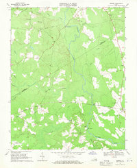
Other maps of this area

1919 · Jarratt
USGS Topo · 1:62,500

1919 · Homeville
USGS Topo · 1:48,000

1919 · Boykins
USGS Topo · 1:48,000

1919 · Arringdale
USGS Topo · 1:48,000

1920 · Homeville
USGS Topo · 1:62,500

1920 · Boykins
USGS Topo · 1:62,500

1920 · Arringdale
USGS Topo · 1:62,500

1942 · Arringdale
USGS Topo · 1:62,500

1943 · Sebrell
USGS Topo · 1:31,680

1943 · Manry
USGS Topo · 1:31,680