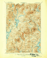
1932 Map of Second Lake
USGS Topo · Published 1948About this map
The remote northern reaches of Pittsburg and the Maine border are defined here by a network of logging camps and vast water bodies at the headwaters of the Connecticut River. Surveyed in 1927, this landscape reveals an active timber industry, evidenced by numerous numbered sites such as Camp No 34 and Depot Camp, linked by the Magalloway Road. The map tracks the connectivity between Second Lake and Lake Connecticut, as well as the early structure of the Aziscohos Lake shoreline.
Find a feature on this map
79 named features on this map. Tap any name to fly to it.
Don’t see what you’re looking for? This feature index may not catch every label — zoom into the map to look around manually.
Map Details
Editions of this 1932 Second Lake Map
4 editions found
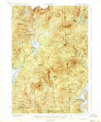
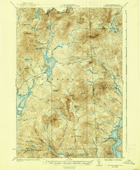
Other maps of this area

1925 · Indian Stream
USGS Topo · 1:48,000

1926 · Indian Stream
USGS Topo · 1:62,500

1927 · Indian Stream
USGS Topo · 1:62,500

1927 · Moose Bog
USGS Topo · 1:48,000

1927 · Second Lake
USGS Topo · 1:62,500

1930 · Dixville
USGS Topo · 1:62,500

1930 · Errol
USGS Topo · 1:62,500

1931 · Cupsuptic
USGS Topo · 1:48,000

1931 · Moose Bog
USGS Topo · 1:62,500

1932 · Second Lake
USGS Topo · 1:62,500
Featured Places
- Pittsburg, NH
- Clarksville, NH
- Atkinson and Gilmanton Academy Grant, NH
- Parmachenee Township, ME
- Lynchtown Township, ME