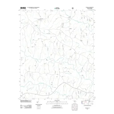
2011 Map of Sedalia
USGS Topo · Published 2011About this map
Sedalia serves as the central anchor for this Piedmont landscape, situated in a region defined by its prominent river systems. The Tyger River winds across the northern reaches, joined by the Enoree River and Duncan Creek further south, creating a network of riparian corridors. These waterways are historically significant for local transit, evidenced by crossing points like Gist Bridge, Adams Ford, and Odels Ford.
Find a feature on this map
43 named features on this map. Tap any name to fly to it.
Don’t see what you’re looking for? This feature index may not catch every label — zoom into the map to look around manually.
Map Details
Editions of this 2011 Sedalia Map
This is the sole edition of this map. No revisions or reprints were ever made.
Other maps of this area

1941 · Spartanburg
USGS Topo · 1:250,000

1953 · Spartanburg
USGS Topo · 1:250,000

1960 · Spartanburg
USGS Topo · 1:250,000

1963 · Spartanburg
USGS Topo · 1:250,000

1964 · Spartanburg
USGS Topo · 1:250,000

1969 · Whitmire South
USGS Topo · 1:24,000

1969 · Cross Anchor
USGS Topo · 1:24,000

1969 · Newberry NW
USGS Topo · 1:24,000

1969 · Union West
USGS Topo · 1:24,000

1969 · Sedalia
USGS Topo · 1:24,000