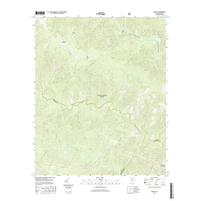
2017 Map of Sedalia
USGS Topo · Published 2017About this map
Sumter National Forest dominates this landscape where the boundaries of Union, Laurens, and Newberry counties converge. The rugged topography is defined by the winding paths of the Enoree River and the Tyger River, both of which are designated as river-based recreation routes including the Enoree River Canoe Trail (Water) and the Tyger River Canoe Trail (Water). The settlement of Whitmire anchors the southeast corner, while the small community of Sedalia sits to the northwest, connected by rural routes such as Hunt Club Rd.
Find a feature on this map
31 named features on this map. Tap any name to fly to it.
Don’t see what you’re looking for? This feature index may not catch every label — zoom into the map to look around manually.
Map Details
Editions of this 2017 Sedalia Map
This is the sole edition of this map. No revisions or reprints were ever made.
Other maps of this area

1941 · Spartanburg
USGS Topo · 1:250,000

1953 · Spartanburg
USGS Topo · 1:250,000

1960 · Spartanburg
USGS Topo · 1:250,000

1963 · Spartanburg
USGS Topo · 1:250,000

1964 · Spartanburg
USGS Topo · 1:250,000

1969 · Whitmire South
USGS Topo · 1:24,000

1969 · Cross Anchor
USGS Topo · 1:24,000

1969 · Newberry NW
USGS Topo · 1:24,000

1969 · Union West
USGS Topo · 1:24,000

1969 · Sedalia
USGS Topo · 1:24,000