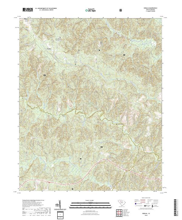
2024 Map of Sedalia
USGS Topo · Published 2024About this map
Sumter National Forest encompasses the rolling landscape of this South Carolina Piedmont region, where the Enoree River and Tyger River define the local topography. The map reveals a deeply rooted rural community around Sedalia, characterized by its significant collection of historical burial sites and places of worship. Genealogists can find the Gist Family Cem, the Old Quaker Cem, and churchyards such as the Padgetts Creek Baptist Church Graveyard. The transport network reflects both the historical and modern era, from the old crossings at Browns Ferry and Janes Ferry to the recreational Enoree River Canoe Trl. The inclusion of the New Hope African Methodist Episcopal Zion Church provides a specific window into the region's cultural and religious development.
Find a feature on this map
45 named features on this map. Tap any name to fly to it.
Don’t see what you’re looking for? This feature index may not catch every label — zoom into the map to look around manually.
Map Details
Editions of this 2024 Sedalia Map
This is the sole edition of this map. No revisions or reprints were ever made.
Other maps of this area

1941 · Spartanburg
USGS Topo · 1:250,000

1953 · Spartanburg
USGS Topo · 1:250,000

1960 · Spartanburg
USGS Topo · 1:250,000

1963 · Spartanburg
USGS Topo · 1:250,000

1964 · Spartanburg
USGS Topo · 1:250,000

1969 · Whitmire South
USGS Topo · 1:24,000

1969 · Cross Anchor
USGS Topo · 1:24,000

1969 · Newberry NW
USGS Topo · 1:24,000

1969 · Union West
USGS Topo · 1:24,000

1969 · Sedalia
USGS Topo · 1:24,000