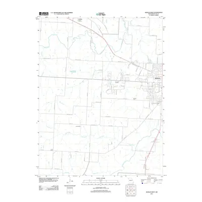
2011 Map of Sedalia West
USGS Topo · Published 2011About this map
Sedalia’s western suburban expansion and the rural village of Dresden define this landscape as it appeared in the early 21st century. The map illustrates a transition from the structured residential blocks and industrial zones of western Sedalia to the open agricultural fields and creek valleys of Pettis County. Waterways such as Muddy Creek, Coon Creek, and Flat Creek meander across the prairie, while Basin Fork marks the southern reaches.
Find a feature on this map
72 named features on this map. Tap any name to fly to it.
Don’t see what you’re looking for? This feature index may not catch every label — zoom into the map to look around manually.
Map Details
Editions of this 2011 Sedalia West Map
This is the sole edition of this map. No revisions or reprints were ever made.
Other maps of this area

1887 · Sedalia
USGS Topo · 1:125,000

1894 · Sedalia
USGS Topo · 1:125,000

1939 · Sweet Springs
USGS Topo · 1:62,500

1940 · Sweet Springs
USGS Topo · 1:62,500

1941 · Sweet Springs
USGS Topo · 1:62,500

1944 · Sedalia West
USGS Topo · 1:24,000

1944 · Sedalia East
USGS Topo · 1:24,000

1945 · Sweet Springs
USGS Topo · 1:62,500

1946 · Sedalia West
USGS Topo · 1:24,000

1946 · Sedalia East
USGS Topo · 1:24,000