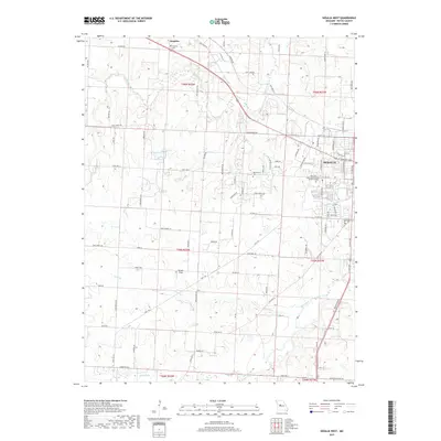
2017 Map of Sedalia West
USGS Topo · Published 2017About this map
The western edge of Sedalia serves as the focal point of this Pettis County landscape, where urban expansion meets the agricultural heart of central Missouri. The map illustrates the town's growth toward the west, anchored by the State Fair Community College- Sedalia Campus and Memorial Park Cem. Following the corridor of a former railroad line, the Katy Trl cuts southeast through the terrain, tracing a path for modern recreation along a path once vital for freight and travel.
Find a feature on this map
95 named features on this map. Tap any name to fly to it.
Don’t see what you’re looking for? This feature index may not catch every label — zoom into the map to look around manually.
Map Details
Editions of this 2017 Sedalia West Map
This is the sole edition of this map. No revisions or reprints were ever made.
Other maps of this area

1887 · Sedalia
USGS Topo · 1:125,000

1894 · Sedalia
USGS Topo · 1:125,000

1939 · Sweet Springs
USGS Topo · 1:62,500

1940 · Sweet Springs
USGS Topo · 1:62,500

1941 · Sweet Springs
USGS Topo · 1:62,500

1944 · Sedalia West
USGS Topo · 1:24,000

1944 · Sedalia East
USGS Topo · 1:24,000

1945 · Sweet Springs
USGS Topo · 1:62,500

1946 · Sedalia West
USGS Topo · 1:24,000

1946 · Sedalia East
USGS Topo · 1:24,000