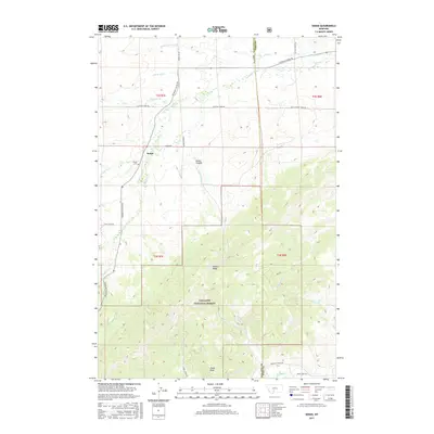
2017 Map of Sedan
USGS Topo · Published 2017About this map
Sedan sits at the northern edge of the Gallatin Range, where the high mountain terrain transitions into the creek-carved basins of the Gallatin National Forest. This 2017 topographic survey highlights the local geography of the Bridger Mountains and the Crazy Mountains foothills, centered around the Sedan Cem and the small settlement. The landscape is defined by prominent high points like Nixon Peak and the high spine of Battle Ridge, which separates the drainages of Flathead Cr and Brackett Cr. A network of rural roads, including Bridger Canyon Rd and Flathead Creek Rd, follows the natural contours of the land, connecting family-named landmarks and remote canyons such as Green Canyon. The area maintains its character as a high-altitude ranching and forest landscape, largely unchanged in its primary infrastructure over decades.
Find a feature on this map
35 named features on this map. Tap any name to fly to it.
Don’t see what you’re looking for? This feature index may not catch every label — zoom into the map to look around manually.
Map Details
Editions of this 2017 Sedan Map
This is the sole edition of this map. No revisions or reprints were ever made.
Other maps of this area

1886 · Little Belt Mts.
USGS Topo · 1:250,000

1891 · Livingston
USGS Topo · 1:250,000

1893 · Livingston
USGS Topo · 1:250,000

1894 · Little Belt Mts.
USGS Topo · 1:250,000

1897 · Little Belt Mts.
USGS Topo · 1:250,000

1898 · Little Belt Mts.
USGS Topo · 1:250,000

1902 · Little Belt Mts.
USGS Topo · 1:250,000

1947 · Bozeman
USGS Topo · 1:250,000

1948 · Bozeman
USGS Topo · 1:250,000

1948 · White Sulphur Springs
USGS Topo · 1:250,000