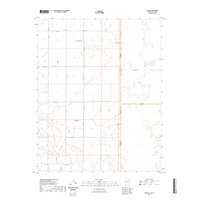
2023 Map of Sedan SE
USGS Topo · Published 2023About this map
The High Plains borderlands of the Texas Panhandle and northeastern New Mexico define this 2023 survey, centered on the intersection of Union, Dallam, and Hartley counties. This expansive ranching landscape is etched by the drainage of Tramperos Creek in the southwest, while the northern sections are anchored by the small Shaha Cem. The map reveals a highly structured grid of section lines and local ranch access routes such as Liberty Rd, Speed Rd, and Cowen Rd. These roads reflect the enduring Public Land Survey System layout of Township 22 North, Range 36 East and its neighboring blocks. The sparse settlement pattern and prominent state line between New Mexico and Texas highlight the isolation and rural character of this tri-county corner, where topography is subtle and the primary landmarks are family-named roads and remote burial sites.
Find a feature on this map
29 named features on this map. Tap any name to fly to it.
Don’t see what you’re looking for? This feature index may not catch every label — zoom into the map to look around manually.
Map Details
Editions of this 2023 Sedan SE Map
This is the sole edition of this map. No revisions or reprints were ever made.
Other maps of this area

1954 · Tucumcari
USGS Topo · 1:250,000

1954 · Dalhart
USGS Topo · 1:250,000

1958 · Tucumcari
USGS Topo · 1:250,000

1958 · Dalhart
USGS Topo · 1:250,000

1962 · Dalhart
USGS Topo · 1:250,000

1970 · Stead
USGS Topo · 1:24,000

1970 · Sedan
USGS Topo · 1:24,000

1970 · Sedan SE
USGS Topo · 1:24,000

1970 · Sedan NE
USGS Topo · 1:24,000

1971 · Koger Ranch
USGS Topo · 1:24,000