Loading...
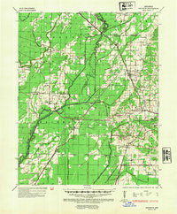
Loading map...1935 Map of Sedgwick
USGS Topo · Published 1954About this map
The Cache River and its intricate network of sloughs define the lowland character of this Arkansas delta landscape during the mid-1930s. The topographic detail captures the early development of Greene, Lawrence, and Craighead counties, where life centered on small rural hubs such as Sedgwick, Bono, and the uniquely named Three Way Inn. The terrain is marked by the distinct transition toward Crowleys Ridge in the east, which provided elevated ground for settlements away from the flood-prone bottomlands.
Find a feature on this map
67 named features on this map. Tap any name to fly to it.
Don’t see what you’re looking for? This feature index may not catch every label — zoom into the map to look around manually.
Map Details
Date Portrayed1935
Date Published1954
PublisherU.S. Geological Survey
Map TypeTopographic
Scale1:62,500
Physical Dimensions18 x 21.7 inches
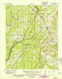
Editions of this 1935 Sedgwick Map
2 editions found
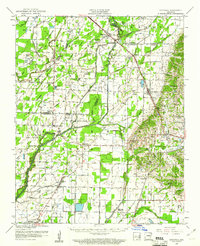
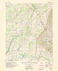
Historical Maps of Jonesboro Through Time
3 maps found
Featured Locations
Source Details
SourceU.S. Geological Survey
CopyrightPublic Domain