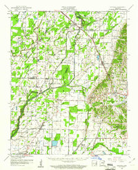
1959 Map of Sedgwick
USGS Topo · Published 1961About this map
Sedgwick serves as a central hub in this lowland region where the St Louis San Francisco Rr and St Louis Southwestern Ry crisscross the landscape. The terrain is defined by the wandering paths of the Cache River and West Cache River, with an extensive network of flumes and ditches indicating a highly managed agricultural environment. This 1950s survey captures a rural social fabric built around small community centers such as Bono, Egypt, and Cash.
Find a feature on this map
48 named features on this map. Tap any name to fly to it.
Don’t see what you’re looking for? This feature index may not catch every label — zoom into the map to look around manually.
Map Details
Editions of this 1959 Sedgwick Map
This is the sole edition of this map. No revisions or reprints were ever made.
Other maps of this area
1932 · Walnut Ridge
USGS Topo · 1:62,500
1934 · Powhatan
USGS Topo · 1:62,500
1935 · Powhatan
USGS Topo · 1:62,500
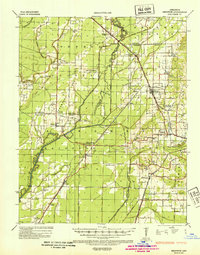
1935 · Sedgwick
USGS Topo · 1:62,500
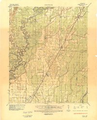
1935 · Alicia
USGS Topo · 1:62,500
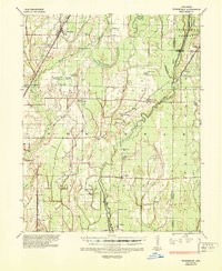
1935 · Tuckerman
USGS Topo · 1:62,500
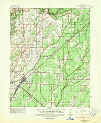
1935 · Walnut Ridge
USGS Topo · 1:62,500
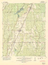
1939 · Weiner
USGS Topo · 1:62,500
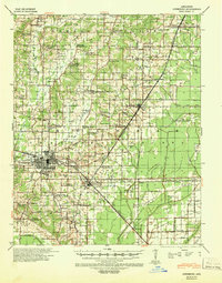
1939 · Jonesboro
USGS Topo · 1:62,500
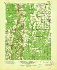
1940 · Dee
USGS Topo · 1:62,500