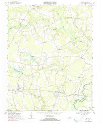
1968 Map of Sedley
USGS Topo · Published 1991About this map
Sedley and the surrounding rural landscape of Southampton County are defined by a network of expansive wetlands and small agricultural settlements. The southern portion of the map is dominated by the Norfolk and Western railway corridor, which serves the community of Burdette near the banks of the Blackwater River. This waterway forms the county line between Southampton Co and Isle of Wight Co, where an Aqueduct and Gaging Sta monitor the river's flow.
Find a feature on this map
32 named features on this map. Tap any name to fly to it.
Don’t see what you’re looking for? This feature index may not catch every label — zoom into the map to look around manually.
Map Details
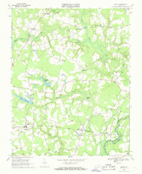
Editions of this 1968 Sedley Map
2 editions found
Other maps of this area

1919 · Homeville
USGS Topo · 1:48,000

1919 · Boykins
USGS Topo · 1:48,000

1920 · Holland
USGS Topo · 1:62,500

1920 · Ivor
USGS Topo · 1:62,500

1920 · Homeville
USGS Topo · 1:62,500

1920 · Boykins
USGS Topo · 1:62,500

1943 · Holland
USGS Topo · 1:62,500

1943 · Manry
USGS Topo · 1:31,680

1943 · Vicksville
USGS Topo · 1:31,680

1944 · Ivor
USGS Topo · 1:24,000